At Delta Surveys, we deliver comprehensive and accurate surveys that cater to a wide range of needs, including Land Surveys, Mine Surveys, Engineering Surveys, GIS & Mapping, and Aerial Surveys.
Our team of highly experienced and dedicated surveyors is equipped with the latest equipment and surveying software to ensure efficient, cost-effective solutions. With over 10 years of expertise in data gathering, we provide data in various formats to meet our clients’ needs.
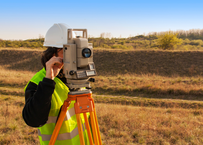
Land Surveys
We offer comprehensive land survey services, including:
Boundary setting and marking
Property subdivision
Sectional title surveys
As-built and construction documentation
Erf and cadastral plan preparation
Topographical surveys for site analysis
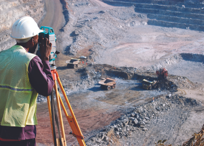
Mine Surveys
At Delta Surveys, we provide comprehensive mine surveying services both above and below ground to streamline your project and enhance its success, including:
Surveys for precise volume calculations
Traffic management plan design
Ramp gradient design optimization
Daily survey support
Rehabilitation design and planning
Engineering Surveys
Delta Surveys leverage cutting-edge technologies to deliver comprehensive land surveying solutions for both property and construction projects, including:
Mapping of area
Setting out of road works and earthworks
Digital terrain modelling (DTM) surveys
Control surveys on construction projects
Detailed surveys of existing infrastructure
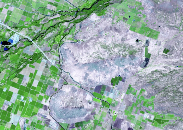
GIS & Mapping
Our team offers specialized services in the following areas:
Contour Surveying: Precision measurement and mapping of the land’s topographical features.
High-Definition Image Overlay: Advanced mapping techniques that superimpose high-resolution aerial imagery on top of existing maps.
Aerial Surveys
Our company offers a diverse range of aerial platforms and advanced software, allowing us to deliver custom solutions to meet your unique requirements. Our aerial survey services include:
Photogrammetry Surveys/Aerial Imagery
Lidar Surveys
Topographical Surveys
Stockpile Surveys and Volume Calculations
Updating of Mine Drawings and Regulations 2.2 Drawings